2025 Hike 50 Challenge
The Superior Hiking Trail Association’s Hike 50 Challenge recognizes trail users for completing any 50 miles on the Superior Hiking Trail within the calendar year. Hike, walk, run, backpack, or snowshoe your miles.
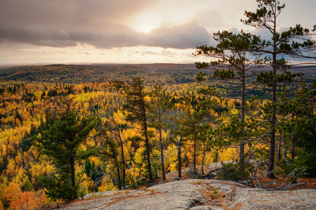
The challenge is designed to provide fun motivation for your SHT hiking or running goals. This year’s challenge will tour the amazing geology of the Trail.
- Explore the SHT section by section.
- Set a family hiking goal for the year.
- Make new trail friends by getting a group of people to complete the challenge together.
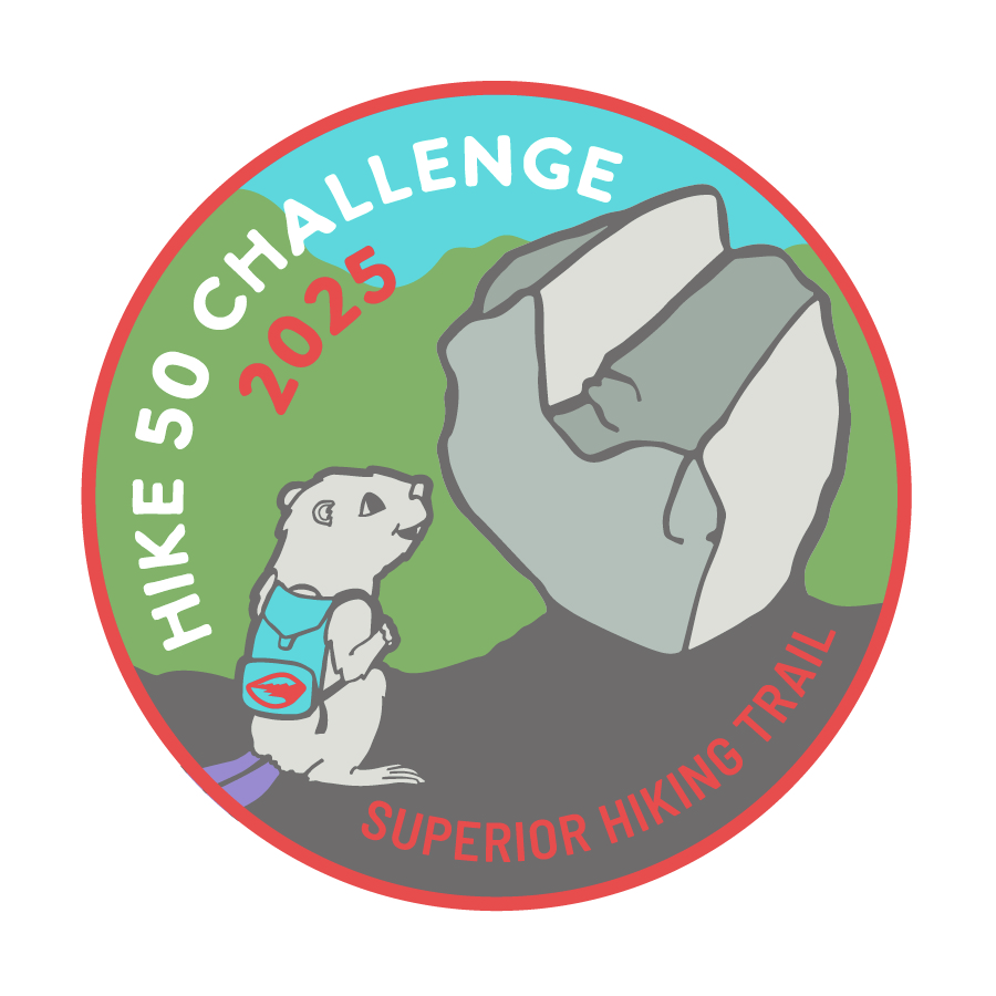
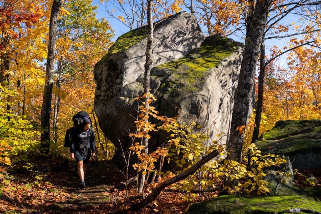
Each year, we will release a brand new version of our Hike 50 Challenge patch. This year’s patch features our mascot Birchy the Beaver standing at the foot of a famous glacial erratic on the Superior Hiking Trail near Finland.
Hike 50 Challenge Packet
Looking for suggested hikes that feature some of the SHT’s most interesting geology? Download our Hike 50 Challenge packet. Each suggested hike includes descriptions, information about the geologic formations along the way, and lists the corresponding maps and guidebook pages. Also included is a log to help you track your challenge miles. There is no need to submit your log to qualify for your completion certificate. The Hike 50 Challenge operates on the honor system.
Have you completed your Hike 50 Challenge?
Once you complete your 50 miles, we will mail you an official Certificate of Completion and Hike 50 Challenge patch. All packets will be mailed out by the end of January 2026. You may report you’ve completed your Hike 50 as soon as you’ve finished.
Plan your Hike 50 Challenge with SHTA Guidebooks and Maps
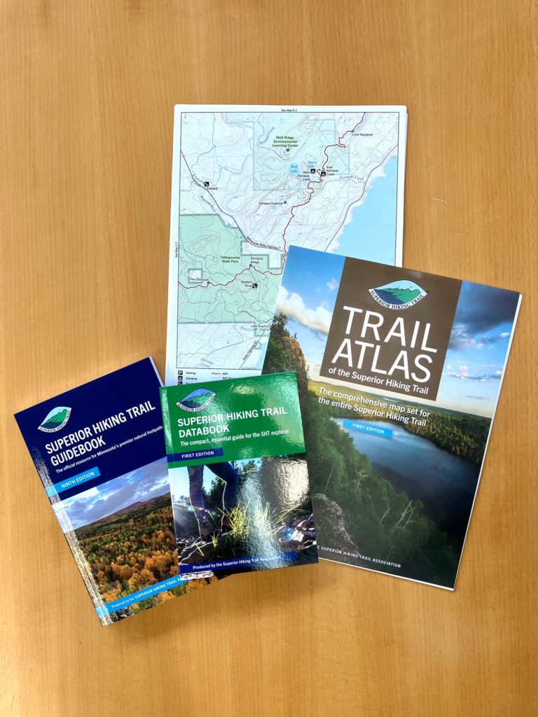
Guidebook: The Superior Hiking Trail Association publishes the Superior Hiking Trail Guidebook, the best single resource for planning anything from day trips to thru-hikes, as it contains mile-by-mile descriptions of the Trail, campsite details, directions to trailheads, and more. Also available in Kindle eBook format.
Maps: The Association also publishes a comprehensive Trail Atlas of the Superior Hiking Trail to use for planning and navigating the Trail. The Trail Atlas is also available in a digital format through the Avenza Maps mobile app. You can also track your miles using the My SHT Map.
Learn more about the Superior Hiking Trail’s ancient geology
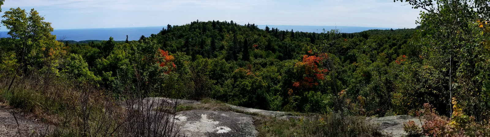
The Superior Hiking Trail was designed to run the ridges of the ancient Sawtooth Mountains, but do you know how they formed? The dramatically beautiful landscape that we enjoy today along the North Shore is a consequence of a geological history that goes back more than a billion years! Click the links below to learn more.
Geology and Scenery along the North Shore
Natural History and Geology Along the Superior Hiking Trail Through Duluth, Minnesota
Ask a Geologist
Have a question about the Superior Hiking Trail’s geology after spending time on Trail for the Hike 50 Challenge?
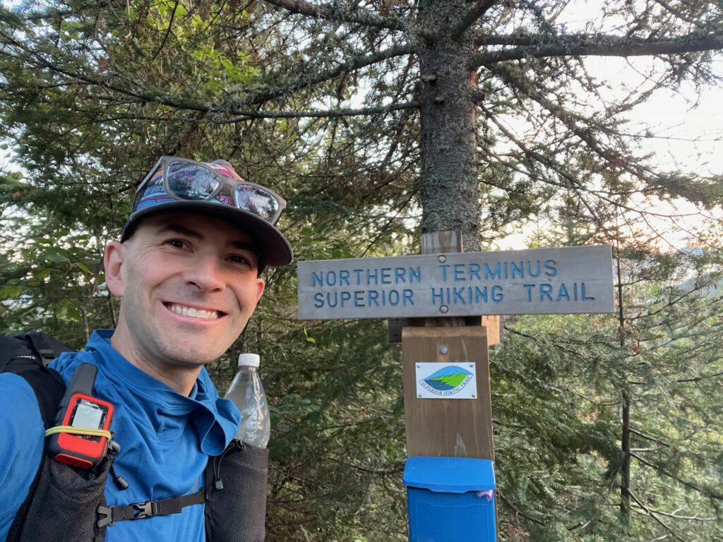
A member of the SHT community has generously offered to answer your questions! Alan Chapman is an Associate Professor of Geology and the Chair of Geology at Macalester College in St. Paul. He is an expert on the tectonics of continental margins and the Superior Hiking Trail after completing the entire Trail in 2024 in just 5 days, 14 hours, and 12 minutes – clinching the unsupported Fastest-Known-Time record. Alan has offered to be the SHTA’s “resident geologist” for this year’s challenge, and is happy to answer your questions about the Trail’s rugged and fascinating geology.
Other area hiking challenges
Your Hike 50 Challenge miles could also count toward other hiking challenges in the area. Our Hike 50 Challenge is an homage to the North Country Trail Association’s Hike 100 Challenge.
In 2019, the Superior Hiking Trail officially became part of the North Country National Scenic Trail’s route, a 4,800-mile trail that runs from North Dakota to Vermont. The SHT makes up about one-third of the NCT’s Minnesota miles. Each year, the NCTA hosts their Hike 100 Challenge. Our Hike 50 Challenge miles will also count toward their hiking challenge. Hike 50 miles on the SHT for our challenge, then go explore other sections of the NCT in Minnesota and Wisconsin, or one of the other eight other states the NCT crosses.

Your Hike 50 Challenge miles could also count toward Trailfitters’s annual Trail Challenge, which runs for six weeks each summer. Each year, Trailfitters selects nine hikes ranging from easy to difficult, and the Superior Hiking Trail usually makes the list. People who complete this challenge can also earn prizes.
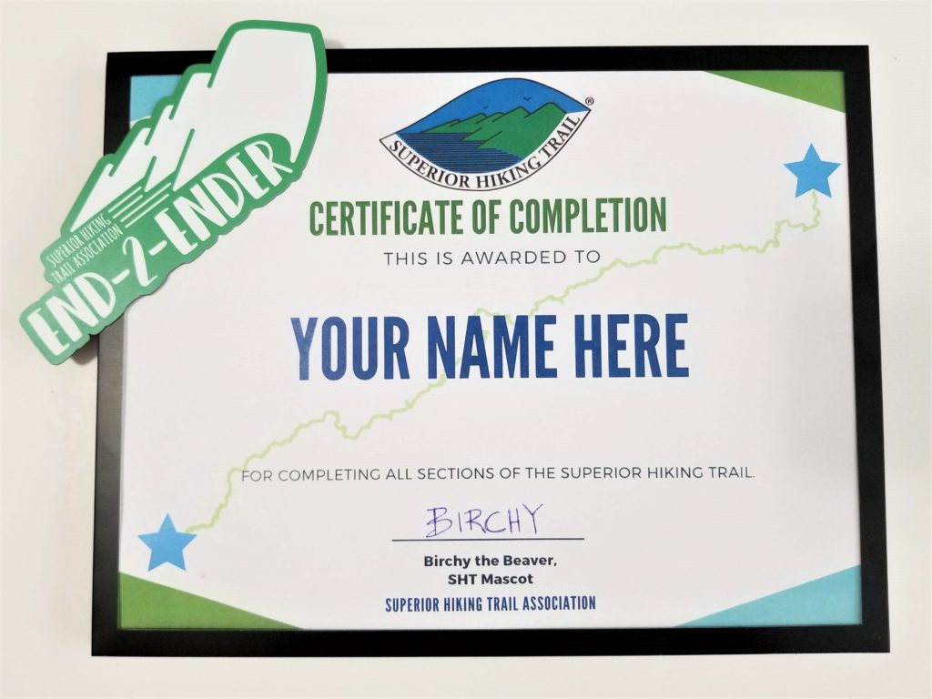
Hike 50 Challenge End-2-End
Complete a Hike 50 Challenge each year until you complete all 300 miles of the Superior Hiking Trail, making you an official End-2-Ender, another accomplishment we love to recognize through our End-2-Ender Program.