

Publications
The Superior Hiking Trail Association publishes the official Superior Hiking Trail guidebook, databook, and trail maps. These critical trip planning tools are available for purchase in our online store, the physical SHTA Trail Store in downtown Two Harbors, MN, and at selected retail locations, including local outdoor gear shops and state park gift shops. The SHTA has expanded and changed available publications to reflect the needs of Trail users. The SHTA produces:
- Guidebook (physical book and e-book)
- Databook (physical book and e-book)
- Atlas (physical map and digital map on Avenza)
- Map Series (physical maps A,B,C,D,E,F and digital maps on Avenza)
Details of these publications are available below to help you plan anything from a day hike to a trail run to a thru-hike, and help keep you safe on the Trail.

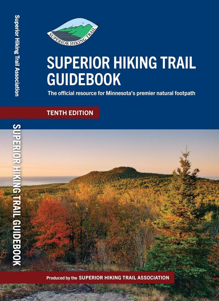
Superior Hiking Trail Guidebook
The Superior Hiking Trail Guidebook details the 300+ miles of the Superior Hiking Trail. It is useful for the casual day-hiker, trail runner, weekend backpacker, or long distance thru-hiker. Details include:
- Mile-by-mile descriptions of each trail section, including spur trails
- Access and parking, including overnight parking options and seasonal trailhead access
- Campsite descriptions and distances between campsites
- Water sources
- Reference sections
10th Edition published in 2025.
The physical book is 10 oz and 206 pages.
Print: Purchase now from the SHTA Trail Store
Digital: Purchase now as a Kindle e-book
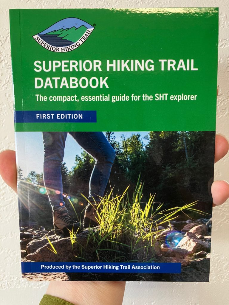
Superior Hiking Trail Databook
The Superior Hiking Trail Databook is a compact, easy-to-carry guide designed to provides the most vital information you need to enjoy the Superior Hiking Trail. This is a condensed version of the full guidebook compatible with southbound and northbound travel. It is written for travelers who want the most important details and less weight to carry. Details include:
- Information for over 300 miles of trail, 94 backcountry campsites, and over 50 trailheads
- Mile points between trailheads, campsites, water crossings, trail and road junctions, and more
- Elevation profiles for the entire main trail
First Edition published in 2020.
The physical book is 3.0 oz and 65 pages
Print: Purchase now from the SHTA Trail Store
Digital: Purchase now as a Kindle e-book
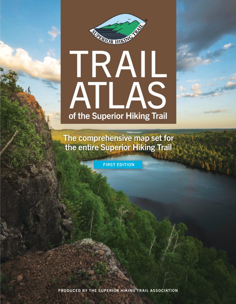
Trail Atlas of the Superior Hiking Trail
The Trail Atlas of the Superior Hiking Trail is a comprehensive set of full-color maps covering the entire SHT and many accompanying trails. The versatile format allows you to have access to a map of the entire Trail, and only bring the necessary sections with you on your trip. It’s the perfect bird’s eye view of your path. Details include:
- Maps of the main SHT, spur trails, intersecting trails you might cross to help orient yourself, and intersecting roadways to help you navigate to an off trail site like a town or private campground
- Topography of the land
- Locations of campsites and trailheads
- Water features, vista points, and more
Second Edition published 2025.
The physical version is 41 double-sided 8 ½” x 11” pages.
Print: Purchase now from the SHTA Trail Store
Digital: Purchase via Avenza Maps
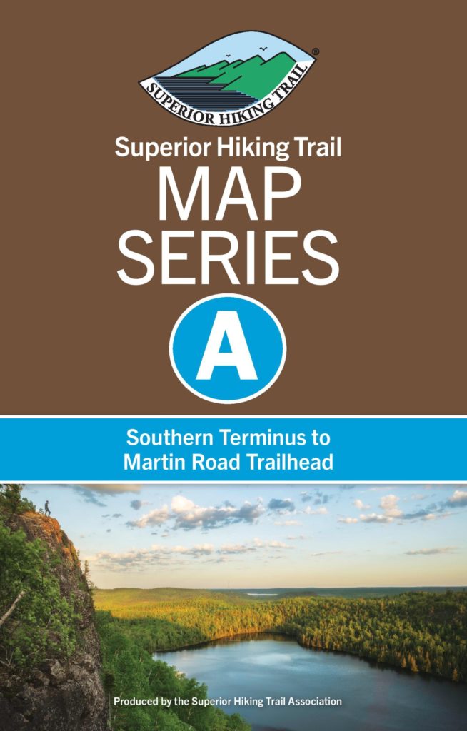
MAP SERIES SETS
The Map Series is the Trail Atlas of The Superior Hiking Trail broken up into 6 sections of approximately 50 miles each. This option was developed for people who are just starting out with the SHT and do not want to purchase the entire Atlas or those who concentrate their hikes in one section of the Trail. They also pay homage to old SHT section maps.
- Map Series A: Southern Terminus to Martin Road Trailhead
- Map Series B: Martin Road Trailhead to Lake County Road 301 Trailhead
- Map Series C: Lake County Road 301 Trailhead to Minnesota Highway 1 Trailhead
- Map Series D: Minnesota Highway 1 Trailhead to Temperance Wayside Trailhead
- Map Series E: Temperance Wayside Trailhead to Pincushion Mountain Trailhead
- Map Series F: Pincushion Mountain Trailhead to Northern Terminus
Published in 2020, revised and reprinted in 2022.
Physical maps are 1.5 oz each with 8.5″x11″ maps that fold in half.
Print: Purchase now from the SHTA Trail Store
Digital: Purchase via Avenza Maps
Official Publications
Only publications produced by the Superior Hiking Trail Association contain the most up-to-date and accurate information on the Superior Hiking Trail. With the rise of AI, there has been an increasingly larger number of unofficial SHT publications being marketed online. We receive frequent reports of these sources and GPS apps not having the correct information, which can create real safety issues during a hike or run. We recommend using official SHTA publications as we are constantly collecting edits and tracking changes along the trail corridor to keep trail users safe, educated, and oriented while exploring the Trail. The SHTA updates the Guidebook and Databook every 2-3 years depending on the number of major route changes. SHTA maps are updated on a regular basis with an annual update to our physical Trail Atlas and biannual update to our digital Trail Atlas published through Avenza. The SHTA encourages purchasing official trail maps and guides through trusted sources like the SHTA Trail Store, partners like Avenza, or a reputable wholesaler. Revenue generated from the purchase of official SHTA publications directly supports the management and maintenance of the Superior Hiking Trail.
Trail Conditions
Before you venture out on the Trail, remember your map, reference materials, and always check the Trail Conditions webpage for the latest conditions and closures.
Geospatial Data
If you’re interested in accessing geospatial data of the Superior Hiking Trail for personal use or use with a GPS device, please complete the SHT Data Request form to let us know more about your intended use.