
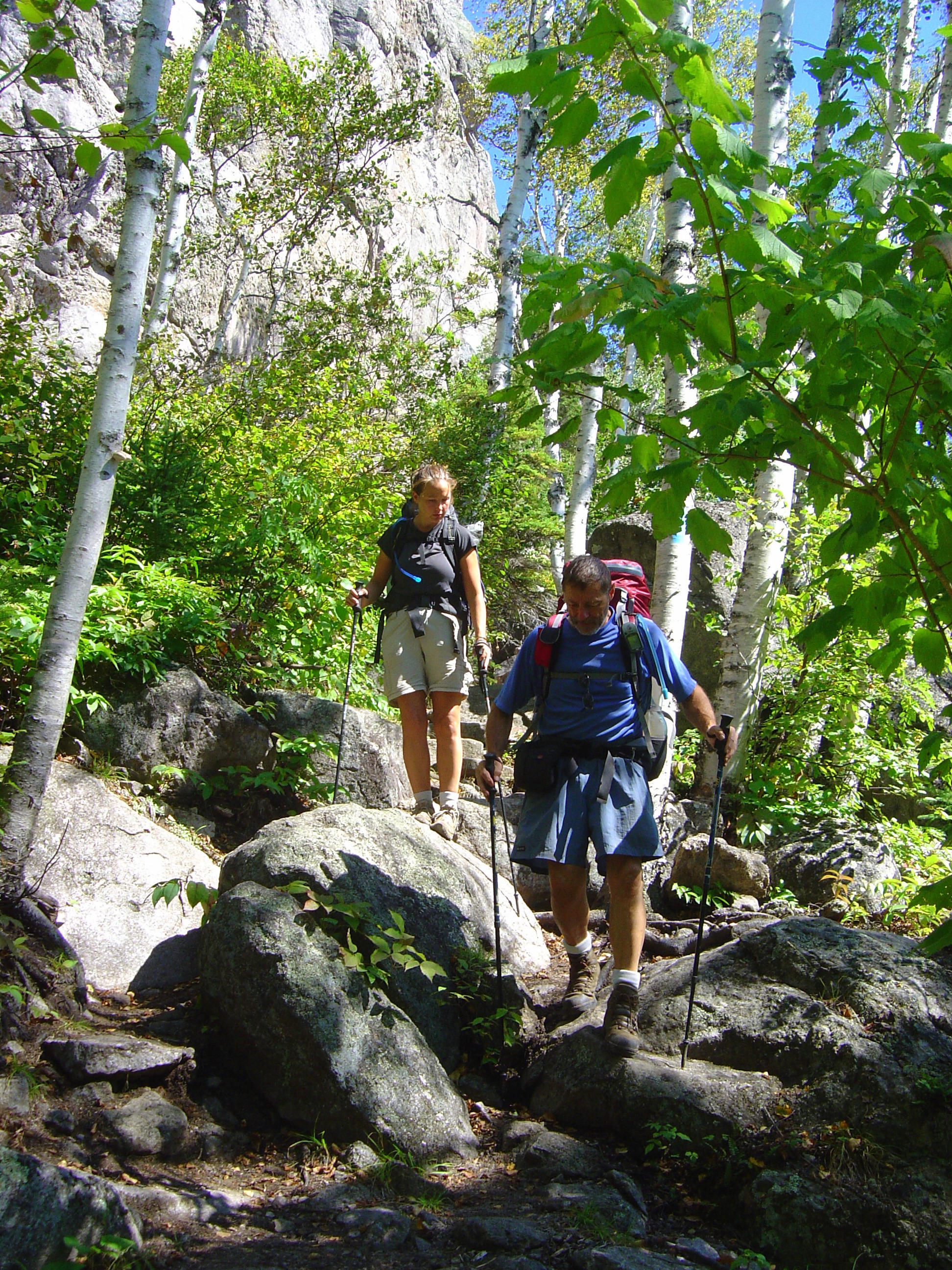
Backpacking
Enjoy the wonders of the Trail day and night.
Planning Resources
- Backpackers should check the Trail Conditions Page before every backpacking trip to find out about alerts or conditions to be aware of on the section of Trail they plan to use.
- The Superior Hiking Trail Guidebook details the Trail, landmarks, mileages, and campsites with information about the number of tent pads, water sources, and distances between sites.
- The Superior Hiking Trail Databook is a compact, lightweight guide that is perfect for carrying with you while backpacking on the SHT.
- The Trail Atlas of the Superior Hiking Trail is a comprehensive map set that provides 41 detailed, full color topographic maps covering the entire main SHT, all spur trails, and many non-SHT connector trails.
- The Superior Hiking Trail Group on Facebook is an online community with many volunteers and trail users who frequently post trip reports, discuss gear, and ask for trip-planning advice.
- Information on the Thru-hiking Page will apply to backpackers who are planning very long trips.
- Many backpackers and trail runners have shared their trip planning tips, hike itineraries, and more in online blogs and YouTube videos. If you’re looking for more advice, you’ll find an abundance by searching “Superior Hiking Trail hike” in your favorite search engine.
Backpacking Tips
- Daily mileage for an average backpacker is around 1 mile an hour. Your pace may be faster (maybe about 2 miles an hour) but with breaks, picture taking, and enjoying the incredible scenery, you will often find at the end of the day you’ve covered about a mile an hour. More experienced backpackers have a better idea of their daily mileage.
- The Trail crosses more than 80 parcels of private land and these parcels are usually not marked. Respect private landowners’ rights by staying on the Trail, camping only in designated campsites, and keeping your pets on-leash at all times.
- Visit our Parking and Shuttles page to review transportation options for your backpacking trip.
Seasonal Considerations
- Spring: Snow does not typically melt until mid- to late-May. Post-melt mud is disheartening to hike through. Ticks and mosquitos emerge at the end of May or sooner, if there is warmer weather. Good trail conditions in the north may be two weeks behind good conditions in the south. We recommend you plan your major trips for another time of year and STAY OFF saturated trails to avoid causing damage. Note: The SHT inside the City of Duluth is closed during the spring thaw, approximately April 1 through mid-May. Please plan accordingly and respect the rules of our partners at the City.
- Summer: Ticks and mosquitoes are not as bad, but are still present. Sometimes smaller water sources can dry up in late summer. In very dry years, a campfire ban may be in effect.
- Fall: Bugs are gone after the first frost. Campsite use falls off dramatically after Labor Day. Much of the Trail north of Duluth closes during deer firearms hunting season for two weeks each November. Check the Trail Conditions page for more information. The SHT inside the City of Duluth is also closed during the fall freeze/thaw cycle, approximately mid-October to mid-November. Please plan accordingly and respect the rules of our partners at the City.
- Winter: Backpacking in winter is recommended for experienced winter backpackers only. Be advised that winter conditions in Northern Minnesota can be extreme and dangerous.
Unfortunately, SHTA staff cannot predict the weather. The North Shore is a big place and weather can differ wildly from place to place. The best practice is to plan your trip hoping for the best, but packing for the worst potential conditions, then checking local forecasts a few days before your trip to make the final decision if the conditions are appropriate for your skill level.
Arrange Camping
- SHT campsites have several tent pads, a fire ring, benches, and a backcountry latrine. Most are located near a natural water source. All water must be treated before drinking.
- Respect private landowners’ rights: Backpackers are required to stay at designated campsites to avoid accidentally camping on private land.
- All campsites must be shared. Please be courteous and make room for fellow campers as needed.
- Hammock hangers must also stay at the designated campsites. Some sites will be challenging and should be avoided. Hammock hangers have reported difficulties at Heron Pond, Bear Lake, Section 13, Jonvick Creek, Sundling Creek, and Andy Creek campsites, but your results may vary.
- Whenever possible, use the backcountry latrine provided at campsites. If you do need to relieve yourself while you are hiking move away from water (at least 200 feet away), campsites, and trails. Deposit solid human waste in holes dug 6-8 inches deep. Cover and disguise the hole when finished. Pack out sanitary products.
- Build fires only at designated fire rings. The fire rings at each site have been installed to minimize fire danger. If you choose to have a fire, it is your responsibility to guarantee that the fire is 100% put out.
- Absolutely no burning of trash! Pack out all garbage. Leave the campsite in better condition than you found it.
- There are no permits, fees, or reservations needed to stay at an SHT campsite. SHT campsites are shown in the Guidebook and Databook and on our Trail Atlas maps.
- The Trail passes several state park campsites. These require a reservation and fee through the state parks. Do not stay at a state park campsite unless you have reserved it and paid for it.
Plan For Your Pets
- Dogs are welcome on the Superior Hiking Trail but must be kept on a leash regardless of how well-trained the dog is. This rule applies to your dog! This is for the protection of wild animals, plants, and the comfort level of fellow hikers.
- No pack animals or livestock are allowed on the Superior Hiking Trail.
- See additional information about pets on the trail on our FAQs page.
 100vw, 1944px" />)