2026 Hike 40 Challenge
Celebrating 40 years of the Superior Hiking Trail!
In 2026, the Superior Hiking Trail marks its 40th Anniversary. This special Hike 40 Challenge edition (usually the Hike 50 Challenge) highlights four decades of milestones while celebrating your completion of any 40 Trail miles during the calendar year—whether you hike, walk, run, backpack, or snowshoe.
This year each featured hike showcases a defining moment in the Trail’s history that helped shape the SHT into the 300+ mile world-class trail it is today.
The challenge is designed to provide fun motivation for your SHT exploring goals:
- Discover the SHT section by section.
- Set a family hiking goal for the year.
- Make new trail friends by getting a group of people to complete the challenge together.
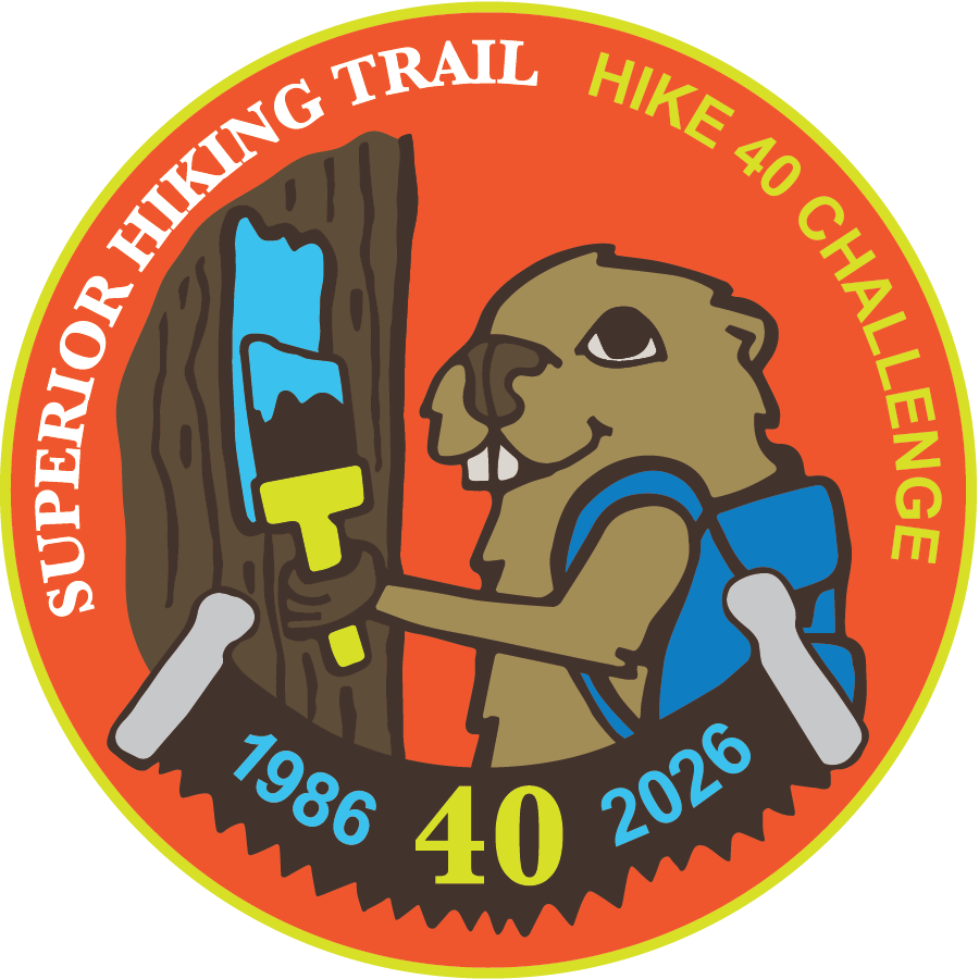
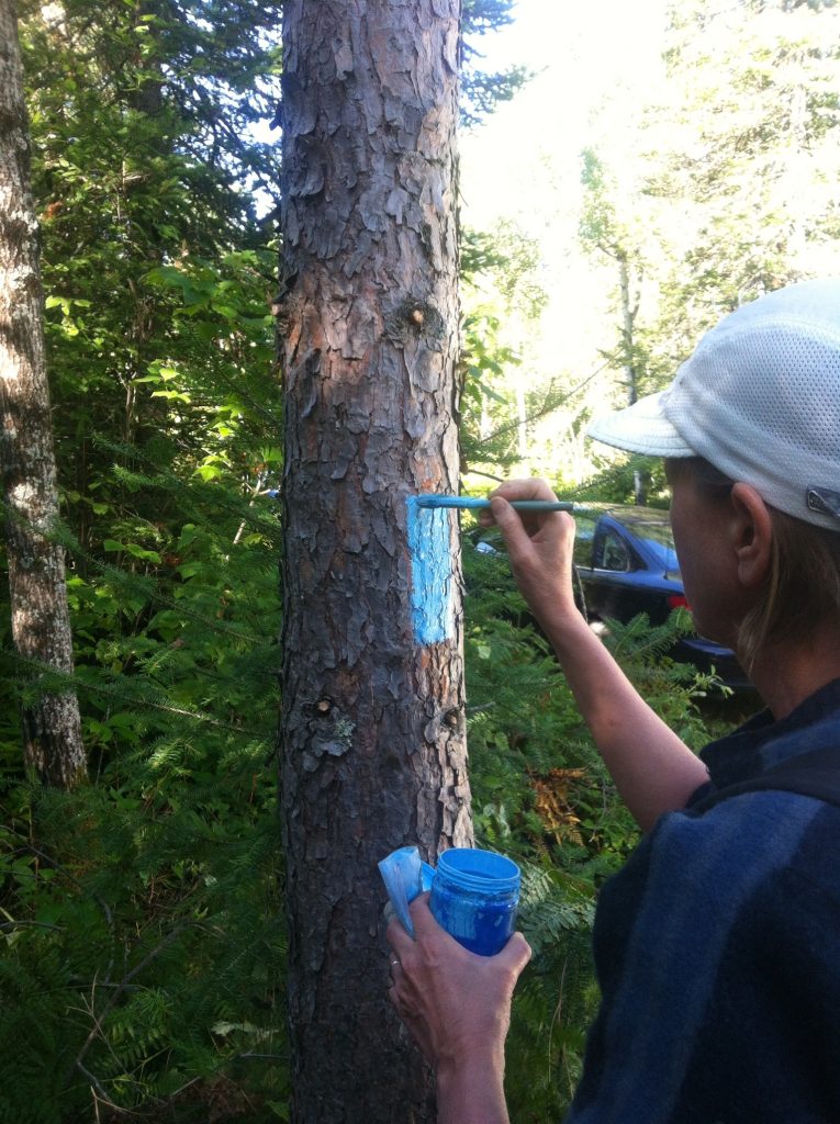
Each year, we release a brand new version of our Hike 50 Challenge patch. This year’s patch features our mascot Birchy the Beaver painting a blue blaze and celebrating 40 incredible years of connecting people with nature along the North Shore.
Learn more about the history of the Superior Hiking Trail
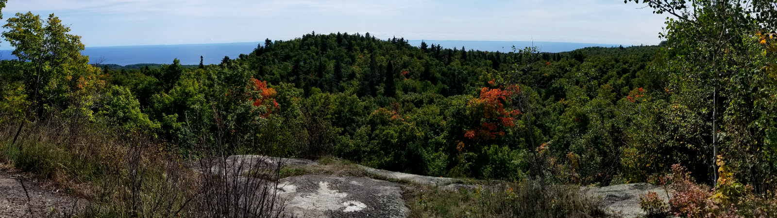
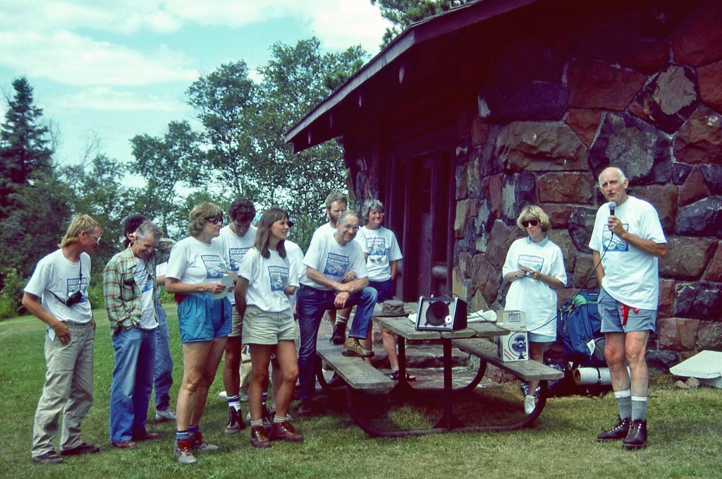
The Superior Hiking Trail was founded in 1986 when a small group of outdoor enthusiasts envisioned a continuous footpath along the rocky ridges above Lake Superior’s North Shore. Construction began in 1987 with the help of state funding, conservation crews, and hundreds of volunteers who built the early miles by hand. Today, the Trail stretches more than 300 miles from the Minnesota–Wisconsin border near Jay Cooke State Park to the Canadian border.

In addition to the Hike 40 Challenge, check out the links below to learn more about the history of the Superior Hiking Trail and celebrate our 40th Anniversary.
- 40th Anniversary webpage
- From the Overlook Series
- Blazing Trail Podcast
Hike 40 Challenge Packet
Looking for suggested hikes that feature some of the SHT’s most memorable milestones? Download our Hike 40 Challenge packet. Each suggested hike includes Trail descriptions, historical milestones that helped make the Trail what it is today, and lists the corresponding Atlas and Guidebook pages. Also included is a log to help you track your challenge miles. There is no need to submit your log to qualify for your completion certificate. The Hike 40 Challenge operates on the honor system.
Have you completed your Hike 40 Challenge?
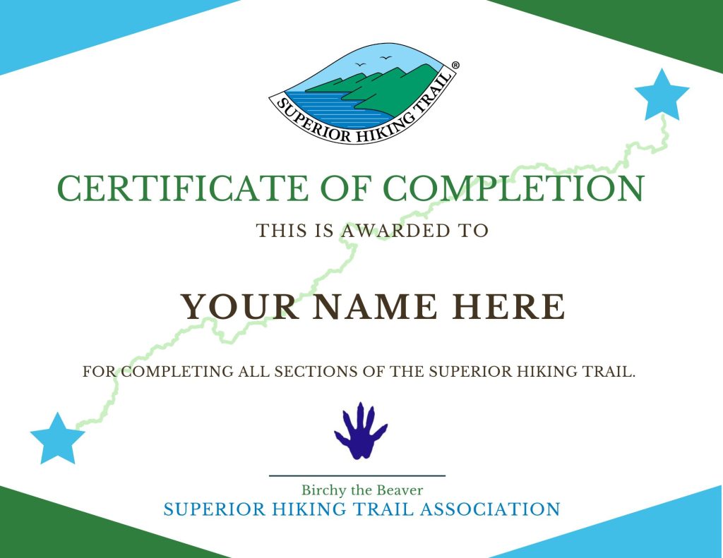
Once you complete and submit your 40 miles, we will mail you an official Certificate of Completion and Hike 40 Challenge patch. All submissions must be received by the SHTA prior to December 31, 2026 and packets will be mailed out by the end of January 2027. You may report you’ve completed your Hike 40 as soon as you’ve finished.
Plan your Hike 50 Challenge with SHTA Guidebooks and Maps
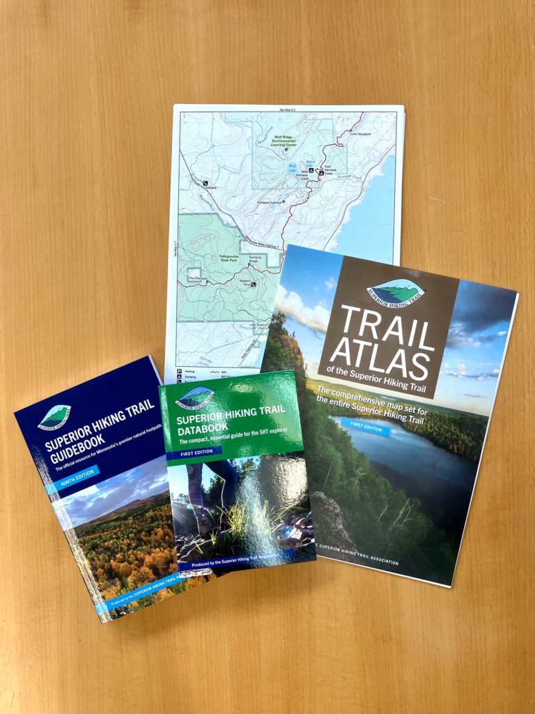
Guidebook: The Superior Hiking Trail Association publishes the Superior Hiking Trail Guidebook, the best single resource for planning anything from day trips to thru-hikes, as it contains mile-by-mile descriptions of the Trail, campsite details, directions to trailheads, and more. Available as a physical book or ebook, visit the SHTA publications webpage to learn more and purchase your copy.
Maps: The Association also publishes a comprehensive Trail Atlas of the Superior Hiking Trail to use for planning and navigating the Trail. The Trail Atlas is available in physical map or digital format through the Avenza mobile app. Purchase your maps and learn more on the SHTA publications webpage.
Tracking: In addition to the Hike Challenge log, you can also track your miles using the My SHT Map.
Support and stay connected to the Superior Hiking Trail
The Superior Hiking Trail Association (SHTA) is the member-supported, volunteer-powered nonprofit responsible for maintaining the Trail. The organization coordinates construction, ongoing maintenance, and improvements while organizing volunteers, managing trailheads and campsites, and helping hikers safely experience the North Shore landscape. Its work is essential to the Trail’s continued existence and long-term stewardship.
For 40 years, the Superior Hiking Trail has connected people to the rugged landscape of Minnesota’s North Shore while inspiring stewardship and outdoor adventure. Click the links below to learn more and find ways to support.
- Become a Member
- Trail Mix e-newsletter
- Volunteer
- Publications
- Trail Store
- Trail Conditions
- Trail Incident Report
- SHTA YouTube Videos
- Leave No Trace
Other area hiking challenges
Your Hike 50 Challenge miles could also count toward other hiking challenges in the area. Our Hike 50 Challenge is an homage to the North Country Trail Association’s Hike 100 Challenge.
In 2019, the Superior Hiking Trail officially became part of the North Country National Scenic Trail’s route, a 4,800-mile trail that runs from North Dakota to Vermont. The SHT makes up about one-third of the NCT’s Minnesota miles. Each year, the NCTA hosts their Hike 100 Challenge. Our Hike 50 Challenge miles will also count toward their hiking challenge. Hike 50 miles on the SHT for our challenge, then go explore other sections of the NCT in Minnesota and Wisconsin, or one of the other eight other states the NCT crosses.

Your Hike 50 Challenge miles could also count toward Trailfitters’s annual Trail Challenge, which runs for six weeks each summer. Each year, Trailfitters selects nine hikes ranging from easy to difficult, and the Superior Hiking Trail usually makes the list. People who complete this challenge can also earn prizes.
Hike 50 Challenge End-2-End
Complete a Hike 50 Challenge each year until you complete all 300 miles of the Superior Hiking Trail, making you an official End-2-Ender, another accomplishment we love to recognize through our End-2-Ender Program.