Your shopping cart is empty.
Items/Products added to Cart will show here.

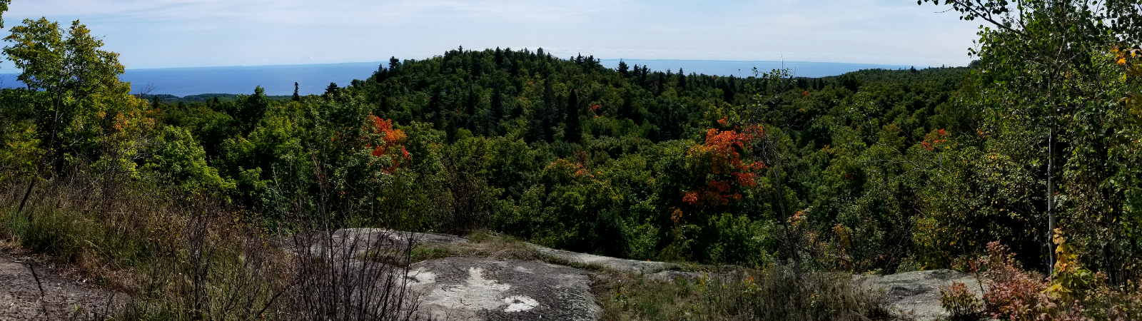

The Superior Hiking Trail through the City of Duluth passes through many areas of fascinating landscape, including world-famous geological features with rocks over a billion years old, spring wildflowers, stunning panoramas, shady old-growth forests and many other ecological land types.

Discover the best hiking in the Midwest! Naturalist and North Shore expert Andrew Slade has explored 50 of the best day hikes along inland ridges and the Lake Superior shoreline. You’ll savor these beautiful routes as the author guides you through the best of the Superior Hiking Trail, eight state parks, and the vast Superior National Forest. Enjoy awesome vistas, thundering waterfalls, and the dramatic change of seasons on these recommended trails.

Minnesota naturalist Stan Tekiela’s full-color photo guides: Wildflowers of Minnesota

Learn what’s edible and what to avoid with this easy-to-use field guide. Species organized by color, then by form. Full page photos and insets showing key identification points.

Make stargazing more fun than ever! Constellations organized by season and locating difficulty. Includes card flashlight.
Your shopping cart is empty.
Items/Products added to Cart will show here.
 Adding...